GIS & Mapping
Mapping, Geospatial Analysis, & Project Planning Services
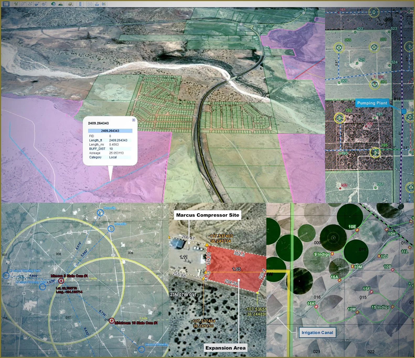
GIS page new text: Permits West offers a full suite of GIS and remote sensing services, from basic map creation to in-depth spatial analyses. We deploy the latest GIS software and technology and our on-staff GIS analysts have decades worth of experience in the field of natural resource management.
We love a good challenge, so if you have a unique GIS or remote-sensing need, or simply need to get creative with traditional maps, we can help.
Our Services:
Reclamation monitoring & success mapping
Mine planning
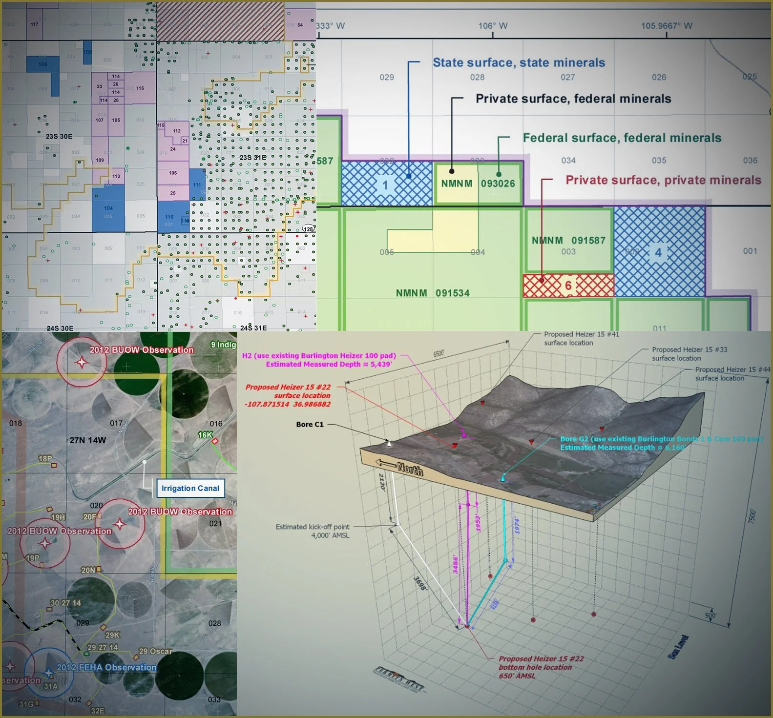
Wildlife monitoring and habitat mapping
Right-of-Way and utility easement planning & management
Oil field development scenario mapping
Critical habitat mapping