Permitting & Environmental Services across
the Four Corners and Intermountain West.
Specializing in Rights-of-Way, Oil & Gas Permitting, NEPA compliance, GIS, and environmental services since 1984.

Our Services
-
Environmental Assessment (EA) writing
Threatened and Endangered (T&E) plant & animal surveys
Reclamation design & monitoring
Storm-Water Pollution and Prevention Plans (SWPPP)
Wetland delineation
Phase I environmental assessments
-
Acquisition, renewal, & assignments of Rights-of-Way
Indian allottee consent and easement negotiations
USFS Special Use Permits
Categorical Exclusions (CE/CX)
Mineral lease research, chain of title, and landman services
Encroachment and Utility Crossing Permits
-
Applications for Permit to Drill (APD) for federal, state, tribal, and fee minerals
Sundry notices
Automated Fluid Minerals Support System (AFMSS)
Lease research, chain of title, and landman services
NEPA compliance & biological surveys
Pipeline, power line, and road Rights-of-Way
Salt water disposal/injection applications
Business site leases
Oil field and lease mapping
On-site inspections
-
Federal/state surface mining applications
Federal/state surface planning
NMDOT sand & gravel permits
Surface reclamation design & monitoring
Mineral ownership and claims research
Stormwater pollution prevention planning (SWPPP)
-
US Army Corps of Engineers Permits
Storm Water Pollution Prevention Plans
Site Analysis & Scouting
Phase I Inspections
Spill Prevention Plans
-
Post-mining topography modeling
Reclamation monitoring & success mapping
Volumetric analyses
Mine planning
Wildlife monitoring anhabitat mapping
Right-of-Way and utility easement planning & management
3D directional drilling models
Oil field development scenario mapping
Critical habitat mapping
Watershed and drainage modeling
Custom database management
Custom Google Earth KML creation & data Integration

Our Clients
Permits West clients range from family-owned businesses to NYSE companies and multi-national corporations.
Telecommunications
Electric & Utility Providers
Pueblo & Tribal Governments
Local, State & Federal Government Agencies
Real Estate & Construction
Oil & Gas
Renewable Energy Developers
Highway Contractors
Real Estate Developers
Minerals & Mining
Sand & Gravel
Uranium
Forestry
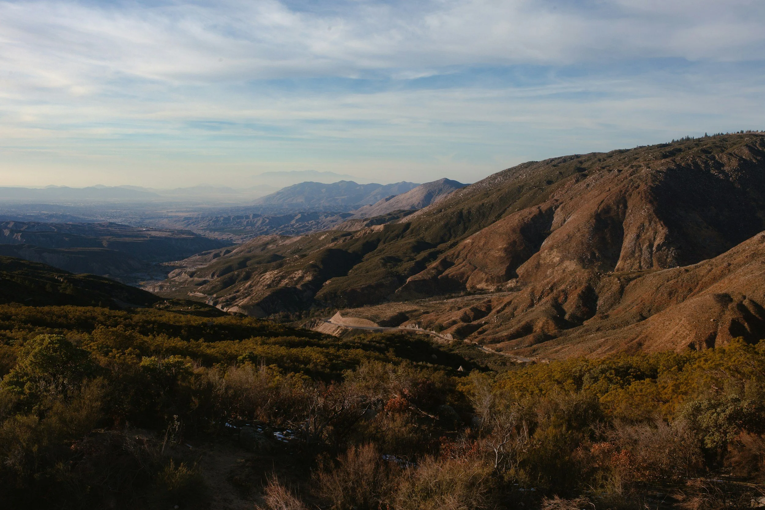
Permits West, Inc. works throughout the Four Corners Region and the Intermountain West. With our home office in Santa Fe, New Mexico we are uniquely positioned between the San Juan and Permian Basins and only a few hours drive from the Navajo Nation. Our core territory stretches from southeast New Mexico, north to Wyoming, and west to the Navajo and Ute lands of southern Utah and eastern Arizona.
Where We Work
Let’s Work Together!
Whether you’re planning a new project or navigating complex permitting, Permits West is here to help.
With decades of experience across tribal, federal, and state lands, we know how to move projects forward efficiently and responsibly. Tell us about your goals, and we’ll help you take the next step with confidence.